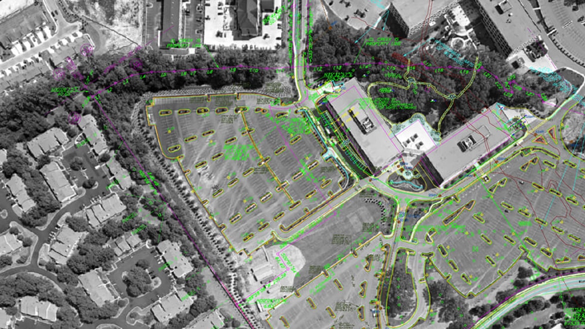
- Tools to execute the correlation/scaling and coordinate values of a raster image in one workflow.
- The Raster Design palette provides comprehensive image data including image properties, image colors, and image file location.
- Specialized tools that give the same results as basic AutoCAD with quicker, more efficient workflows.
- Define regions of varying shapes in the raster image and manipulate them individually.
- The Optical Character Recognition (OCR) tools which convert raster text entities to Multiline Text (MText)
AN AUTOCAD PRODUCTIVITY STUDY
BENEFITS OF THE RASTER DESIGN TOOLSET
See how the Raster Design toolset provided up to 48% overall productivity gain* compared with basic AutoCAD, when these tasks were performed by an experienced AutoCAD user.

In this productivity study, you will see how the Raster Design toolset saves time through features including:
Download the productivity study
Fill out the short form to download the AutoCAD Raster Design toolset productivity study to see how you can save time when working on a drawing in AutoCAD® that requires the use of a raster image to convey design intent.

About the study
Autodesk commissioned a study that compared basic AutoCAD to the Raster Design toolset when preparing designs using raster images.
Results showed that the Raster Design toolset provided up to 48% overall productivity gain* compared with basic AutoCAD, when these tasks were performed by an experienced AutoCAD user.
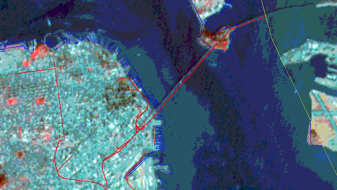
Image courtesy of American Digital Cartography Inc. and U.S. Geological Survey
*As with all performance tests, results may vary based on machine, operating system, filters, and even source material. While every effort has been made to make the tests as fair and objective as possible, your results may differ. Product information and specifications are subject to change without notice. Autodesk provides this information “as is”, without warranty of any kind, either express or implied.
Autodesk, the Autodesk logo, AutoCAD, the AutoCAD logo, AutoCAD LT, and the AutoCAD LT logo are registered trademarks or trademarks of Autodesk, Inc., and/or its subsidiaries and/ or affiliates in the USA and/or other countries. All other brand names, product names, or trademarks belong to their respective holders. Autodesk reserves the right to alter product and services offerings, and specifications and pricing at any time without notice, and is not responsible for typographical or graphical errors that may appear in this document.
© 2022 Autodesk, Inc. All rights reserved.